Sunday, February 12, 2017
Trail used on this leg: http://ridgetrail.org/sierra-azul-open-space-preserve
 |
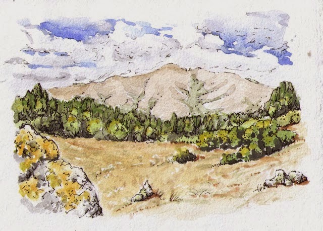
Sierra
Azul morning
|
It is true!! Today we hiked our last segment of
the spectacular Bay Area Ridge Trail. It has taken us 3.5 years and 26 trips,
and we have loved all the hikes. We are deeply grateful to the Bay Area Ridge
Trail Council for their dedication and vision in making this walk of ours
possible. You can read about the history of the Ridge Trail here.
The first trail was dedicated in 1989! Circumnavigating the trail is a bigger
task every year, since the trail continues to grow as the entire circuit gets
closer to completion. When we started in 2013, the trail was 340 miles long.
Now it is 370, with a total of 400 likely over the next three years. Donna
estimates we have walked well over 400 miles, what with extra miles for some
trailhead access routes and out-and-backs when we didn't have a shuttle set up
for through-walks. We have also gone back to walk newly completed segments.
We saved our last hike for a beautiful, clear,
sunny day, and were rewarded with fantastic views of the bay as well as the
ridges and mountains we have gotten to know so well. Our walk was made even
more special by the addition of Emily from the Ridge Trail office and her
partner Casey. Our stalwart companion Richard joined us as well. Aaron and
Peter met us on the trail as we finished the last mile of descent.
 |
Our
companions on this hike: Richard, Emily (BART staff!) and Casey
|
 |
Lots
of ephemeral stream crossings
|
Sierra Azul Open Space Preserve contains 18,000
acres of wilderness, including dense forests, streams, and sunny ridges. Much
of our walk today skirted the summit of Mt. Umunhum, which is going to be open
to the public later this year. In all, we climbed 1600 feet from the trailhead,
and descended 2400 feet to the terminus at Lexington Reservoir. This 12-mile
hike is a serious walk, and is easily one of the most beautiful of the
high-ridge hikes of the Bay Area Ridge Trail.
 |
Looking
north across the Bay at the halfway point
|
 |
Champagne,
cake, ukulele music and good humor after 12 miles!
|
 |
We
were presented with the official bandanna of the Bay Area Ridge Trail
|
Circumnavigation of the Ridge Trail is a very
doable goal. The trails are well-maintained and easily accessible by car. Even
Molly, with her upside-down map above, had no problem navigating her way,
especially with map expert Donna at her side. We hope that the trail continues
to grow in well-deserved popularity as more people fall in love with the
promise of adventures that the Ridge Trail offers.
More photos from this walk are here: https://photoenthusiast.smugmug.com/Other-1/Sierra-Azul-Open-Space-Preserve-21217/
Photos of the entire walk are here: https://photoenthusiast.smugmug.com/Other-1