Yountville to American Canyon: Vineyards and Summits
October 17 and 18, 2015

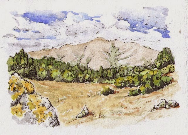
Looking north from Rockville Hills
Yountville Cross Road/Highway 29
http://www.ridgetrail.org/skyline-wilderness-park-and-napa-solano-ridge-trail
http://www.ridgetrail.org/rockville-hills-regional-park
http://www.ridgetrail.org/lynch-canyon-open-space
http://www.ridgetrail.org/hiddenbrooke-trail
We travel a ways by car to get to our trail segments for this portion of the trail. For that reason, we have been trying to hike in several parks and open spaces each trip. You can see that this leg packed a bunch of miles together!
Fall is a perfect time to walk in Napa and Solano counties. Summers can get so hot here, but now it is lovely, plus we have the added bonus of walking in the autumn slanty-light golden colors. The photo below shows the incredible lushness of botanical life that results in this deep mix of marine and volcanic soil here. San Pablo Bay once extended into this valley, and the mountains to the west are a combination of uplifted ancient sea floor and volcanic rock.
 |
| In the Napa Valley, looking west from Hwy 29 |
We are happy that Napa County is taking on the challenge of creating the ridge trail in their community. Getting from beautiful ridge parks to beautiful ridge open spaces requires some connectors through the urban areas sometimes, and the first trail segment of the day was south through the Napa Valley through the town of Yountville. Though the route itself is near a busy and straight highway sometimes, the views of the surrounding vineyards and rolling hills were lovely.
 |
| The kitchen garden for the restaurant, French Laundry, on the route through Yountville |
We were delighted to discover Skyline Wilderness Park. We set up our camp here at noon, then spent the afternoon walking up the beautiful ridges there, partly along the eastern boundary of Napa State Hospital. This facility was established in 1875, which might coincide with this historic dump site.
 |
| Looks like a resting place for #10 tins from the Napa State hospital, maybe? This was the start of the trail in the Skyline Wilderness |
 |
| Looking north to Napa Valley from Skyline Wilderness Park |
In the morning, we drove over to Fairfield and wandered through the peaceful open spaces of Rockville Hills and Lynch Canyon. I've always wanted to walk in these open rounded grassy hills that pop up just beyond the bay near Highway 80!
 |
| Looking northwest from the Rockville Hills Regional Park |
Hiddenbrooke Trail in American Canyon was our last hike of the day, with the fading light of the day raking over the oaks and hills. We heard meadowlarks calling, saw hawks overhead and reveled in the views down across the bay to Mt Tam, the Golden Gate Bridge, Mt Diablo, and beyond. Looking out over the bay from the ridge above Hiddenbrooke, we can see much of our hiking history on the Ridge Trail, from Black Mountain in the South Bay to Mt. Burdell and Sonoma Mountain, and to the ridges of Calistoga and Napa Counties. What a walk we're having!
 |
| Hiking with the song of the meadowlark on Hiddenbrooke Trail |
Photos of the whole trip so far: click here!