November 2-3, 2013
 |
| Stinson Beach and Bolinas from Bolinas Ridge |
Maps used on this 2-day leg are:
http://www.ridgetrail.org/index.php/golden-gate-bridge-to-tennessee-valley
http://www.ridgetrail.org/index.php/tennessee-valley-to-shoreline-highway
http://www.ridgetrail.org/index.php/dias-ridge
http://www.ridgetrail.org/index.php/mount-tamalpais-state-park
http://www.ridgetrail.org/index.php/mount-tamalpais-state-park-and-ggnra
http://www.ridgetrail.org/index.php/ggnra-and-samuel-p-taylor-state-park
We were joined by our cheerful and indefatigable walking friend David again, this time for a 30-mile overnighter. Donna and I left a car in the Presidio at her friend Mary's house. Mary drove us to the north end of the Golden Gate Bridge, where we met David, who'd walked there from his house. Our first day out was approximately 15 miles long; David's was over 20.
Here is the north end of the bridge at about 9:00 Saturday morning.
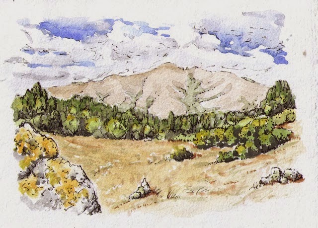
An hour later or so, we had our first view of Mt. Tam. The mountain's elevation is 2575' currently; it used to be over 2600' tall before the summit was graded for the installation of radar equipment.
We will spend tonight near the summit at the Pan Toll campground. There are walk-in sites -- no reservation necessary! We found a great site, visited with a camping chef who is getting ready to open an unusual Thai restaurant in downtown San Francisco, and we cooked our morning oatmeal on Sunday over a fire due to a balky backpacking stove.
Day 2: Mt. Tam and the Bolinas Ridge (below) are bits of the North American Plate which have been pushed up as the plate slides over and along the Pacific Plate. More evidence of this plate-to-plate interaction is the preponderance along the trail of green-black serpentinite, which is formed underwater at the interface. Serpentine is our state rock.
We will now be firmly on the North American Plate for the rest of our round-the-bay walk.
Mt. Tam State Park
Sunday afternoon: Lagunitas Creek. and the end of our beautiful 2-day trek. You can find more photos and information about this leg here.


