 |
| Lucas Valley Open Space Preserve |
In this drought year, we've had many hikes on winter days where we could clearly see the San Francisco Bay. Our last hike on March 16 was one such day. We started at the top of White's Hill in Fairfax and immediately climbed to the top of Loma Alta, one the highest points in Marin County. This 1592' summit descends into four distinct watersheds: Miller Creek to the northeast, Corte Madera Creek to the southeast, Lagunitas Creek to the southwest, and Nicasio Creek to the northwest.
 |
| Katharina, David, Donna and Millie on top of Loma Alta, elevation 1592' |
The clouds created beautiful waving patterns through the blue and the grass was probably the greenest it will ever be this winter.
 |
| Lucas Valley keyhole to view of Mt Diablo |
 |
| The poppies have announced the arrival of Spring! |
 |
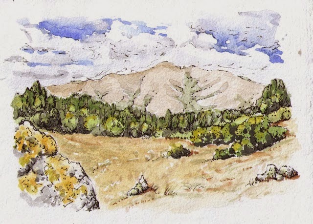
| Lucas Valley Open Space Preserve |
We ate chocolate at the top, then turned around and backtracked down the switchbacks. When the trail is finished, it will continue north to the next finished section in Indian Tree Open Space Preserve in Novato.
-XL.jpg) |
| San Francisco Bay from Big Rock Ridge, elevation 1895' |
 |
| Donna and David look out to the northeast from Big Rock Ridge |