January 16 and 22, 2017

Maps used: http://ridgetrail.org/images/interactive_map/maps/maps_05-2011/CoyoteCreekN+S.pdf
We walked the 19 Ridge Trail miles of Coyote Creek over two successive weekends, during one of the rainiest Januaries in recent memory. Somehow we never got truly soaked, but we did get damp and muddy as we bushwhacked our way around the occasional washed-out stretches of trail.

Coyote Creek (Arroyo del Coyote) was named in 1776 by the de Anza Expedition, and it runs 60 miles from Henry Coe State Park to the San Francisco Bay. The Ridge Trail segment follows the urban riparian corridor flanked by the Diablo Range and the Santa Cruz Mountains, from Morgan Hill to San Jose.
The creek is home to Pacific lampreys, rainbow trout, chinook salmon, California roach, three-spined sticklebacks, and the Sacramento sucker, among others.

Richard joined us on the second day of this walk. He pointed out a thrasher, bluebirds, red-tailed hawks, a kingfisher, gulls, jays, mallards, a graceful great blue heron, and more.


Here are more photos of the hike.
https://photoenthusiast.smugmug.com/Other-1/Leg-24-Coyote-Creek/

Maps used: http://ridgetrail.org/images/interactive_map/maps/maps_05-2011/CoyoteCreekN+S.pdf
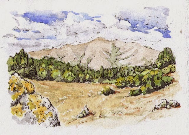
We walked the 19 Ridge Trail miles of Coyote Creek over two successive weekends, during one of the rainiest Januaries in recent memory. Somehow we never got truly soaked, but we did get damp and muddy as we bushwhacked our way around the occasional washed-out stretches of trail.

Coyote Creek (Arroyo del Coyote) was named in 1776 by the de Anza Expedition, and it runs 60 miles from Henry Coe State Park to the San Francisco Bay. The Ridge Trail segment follows the urban riparian corridor flanked by the Diablo Range and the Santa Cruz Mountains, from Morgan Hill to San Jose.
The creek is home to Pacific lampreys, rainbow trout, chinook salmon, California roach, three-spined sticklebacks, and the Sacramento sucker, among others.
 |
| Pacific Lamprey http://www.critfc.org/fish-and-watersheds/columbia-river-fish-species/lamprey/ |
 |
| A chinook salmon ladder and seasonal dam |

Richard joined us on the second day of this walk. He pointed out a thrasher, bluebirds, red-tailed hawks, a kingfisher, gulls, jays, mallards, a graceful great blue heron, and more.


A disappearing trail

In all, this ramble along a mostly-paved route was full of surprises and unexpected beauty. Donna and I were continually reminded of the delicate balance between urban landscapes and semi-wilderness, against a backdrop of huge, sudden volumes of water. January, 2017 turned out to be a great time to do this walk.
https://photoenthusiast.smugmug.com/Other-1/Leg-24-Coyote-Creek/


