~

~
Loma Alta

Wednesday, July 17, 2013

Foggy day on the Ridge Trail

Wunderlich County Park is cold and almost rainy this July morning!  


Foggy beginning

July 16, 2013

Maps used today:


Purisima Creek Redwoods Open Space Preserve


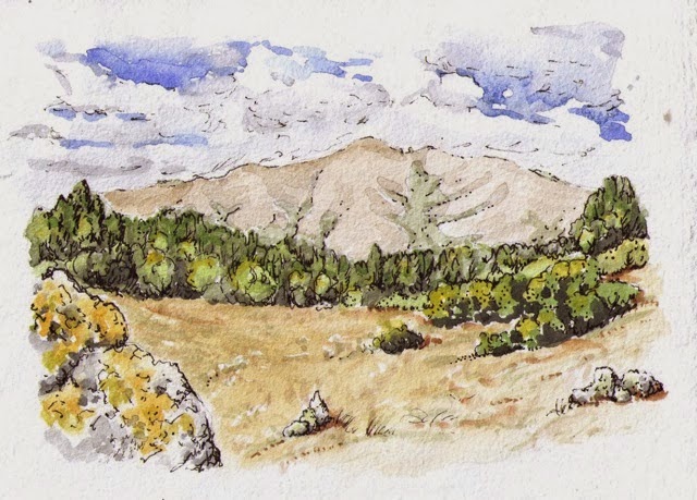
Today we are joined by Boyd as well as our friend Richard.  Our route takes us through dense, moist, and utterly beautiful redwoods, firs, oaks, and madrones as we make our way up along Purisima Canyon toward Kings Mountain.  Coming out of the redwoods into the sun at the top of the canyon, we are now in the San Francisco Bay watershed. 


Slug Love


We met a hiker practicing for the John Muir Trail -- he hikes down into the canyon and back up twice per outing for a few thousand feet of elevation change, while carrying a 30-pound pack.  He and his daughter leave for the JMT in two weeks. 


Madrones

  
Click on this link for more photos.

The second leg: HEAT!


July 1, 2013

Maps used today:


Today finds us walking during a record-breaking heat wave from Skyline Ridge to Russian Ridge to Windy Hill.  Three hardy and cheerful souls join us this time: Boyd, Donna’s daughter Tanya, and my father, Gary, who is visiting from Portland. 


Alpine Lake


What a day for a ridge hike -- the temperature is probably around 95 degrees!  After summiting Borel Hill (2572’) and getting our first view of the SF Bay, we began looking for any kind of shady spot to sit in.  We were quite pleased to find a small thicket of sage that, if we sat together in a small-enough clump, gave us a slightly cooler place in which to exist.  After a few minutes back on the trail, we arrived at a large deck with benches under a luxurious stand of old oaks.  We almost wept out of joy and gratitude -- Eagle Scout Ryan Corley had recently rebuilt this excellent rest area.  Thanks, Ryan!


 Click on this LINK for more pix from the hike!


A plum tree planted by a bird: refreshment!

Beginning in June

Long Ridge

June 21, 2013

Maps used today: 

Sanborn County Park and Castle Rock State Park

Saratoga Gap Open Space Preserve to Skyline Ridge Open Space Preserve


One day in May, 2013, at the John Muir National Historic Site in Martinez, Donna and I browsed through the books for sale in the visitor center.   We saw the guide to the Bay Area Ridge Trail by Jean Rusmore (3rd ed.) and I mentioned that I’d like to walk the 340-mile (so far) route.  “Let’s do it!” responded Donna, and here we are in June, on the first leg of our round-the-bay walk.  

We’re starting at Sunnyvale Mountain, which is the nearest BART trailhead to Santa Cruz, and we will work our way clockwise around the bay, taking one-way walks and car-shuttling back to that day’s starting point. 

Long Ridge
Our first day on the ridge trail is a 14-mile outing, and Boyd, Donna’s son-in-law joined us.  It’s a long walk, and much of it follows the beautiful Long Ridge, inland from the ocean, and not yet within sight of the San Francisco Bay.


California Sister

Click on this Link to more pictures from the day.