 |
| Painted from the Bay Area Ridge Trail in the Presidio, San Francisco |
Today we walk clear across San Francisco, from the southwest to Sausalito. The official maps we are using are:
http://www.ridgetrail.org/index.php/fort-funston-to-stern-grove
http://www.ridgetrail.org/index.php/stern-grove-to-the-presidio
http://www.ridgetrail.org/index.php/san-francisco-presidio
http://www.ridgetrail.org/index.php/golden-gate-bridge
However, we have charted our own course today thanks to our San Franciscan friend David, who walks these streets all the time, and really knows his way around. What's more, Ft. Funston was closed due to the shutdown of the federal government, so we started slightly north of there, on Brotherhood Way, and walked across the Lake Merced neighborhood.
Our route, in a nutshell, was: Brotherhood Way, Merced Heights, Joost St., Glen Canyon, Twin Peaks, Mt. Sutro, Golden Gate Park, the Presidio, and the Golden Gate Bridge. It was a perfect walk for a perfectly sunny day.
Our crew today includes friends Suzanne, Julia, David, and Jonathan (for a bit at the beginning).

Walking along Joost Street, named after Behrend Joost. You can read about him here.


More photos from the day here.
 |
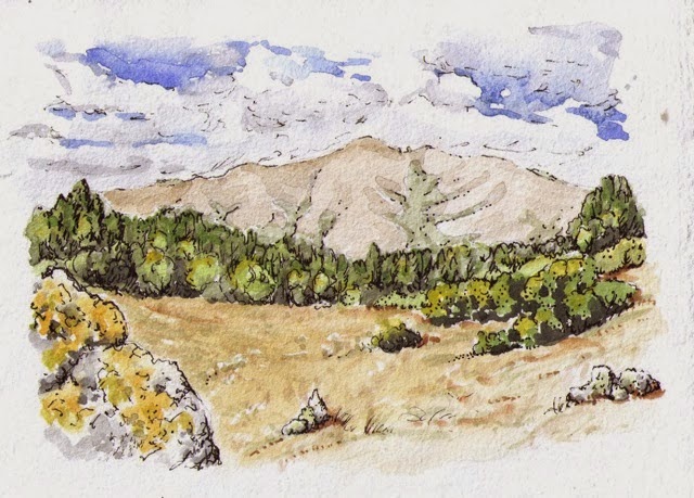
| We are looking at the view, visible in the photo below. We have just walked up the hill from Brotherhood Way and Temple Beth Israel-Judea to Merced Heights. |

Walking along Joost Street, named after Behrend Joost. You can read about him here.

Scaling Mt. Sutro

Finishing up a terrific 15-mile walk. Thanks, David, for the excellent route.

More photos from the day here.