 |
| Pacific Ocean near Ft. Funston |
Sunday, September 16, 2013
Maps used creatively today:
Sweeney Ridge to Milagra Ridge
Mussel Rock to Fort Funston
Eight of us today -- our biggest group yet! Donna and I walked to San Francisco today with Julia, Amy, Sandra, Katarina (visiting from Germany), David, and Peter. As we descended Sweeney Ridge at around 10 in the morning, the fog began to clear.
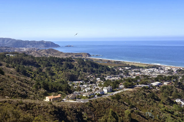
This is the view of Pacifica and the Pacific from Milagra Ridge.
Here is Mussel Rock, a remnant of the Farallon Plate, which now lies mostly underneath the North American Plate. The ancient seafloor that makes up Mussel Rock is much older and much more erosionally resistant than the 3-million-year-old sedimentary Merced Formation on the coast.
The epicenter of the 1906 San Francisco earthquake is about 2 miles offshore to the north of Mussel Rock.
This landslide above Mussel Rock was triggered by the 1906 earthquake. The houses are more recent.
After much debate and careful consideration, Donna goes for it. Fort Funston is two miles away up the beach. As long as it's low tide and there's no catastrophic earthquake, this option is probably safe enough. All eight of us made it.
More photos from today here!


No comments:
Post a Comment